On November 18, Mt. Bachelor had its earliest opening day since 2006, much to the excitement of thousands of Central Oregonians who got in some rare pre-Thanksgiving frontcountry turns. Then, just a few days later, a storm rolled in, carrying with it the promise of extensive, Cascades-blanketing precipitation.
There was only one problem: it was the wrong type of storm for snow sports, and rain was the only kind of blanket draping the Cascades.
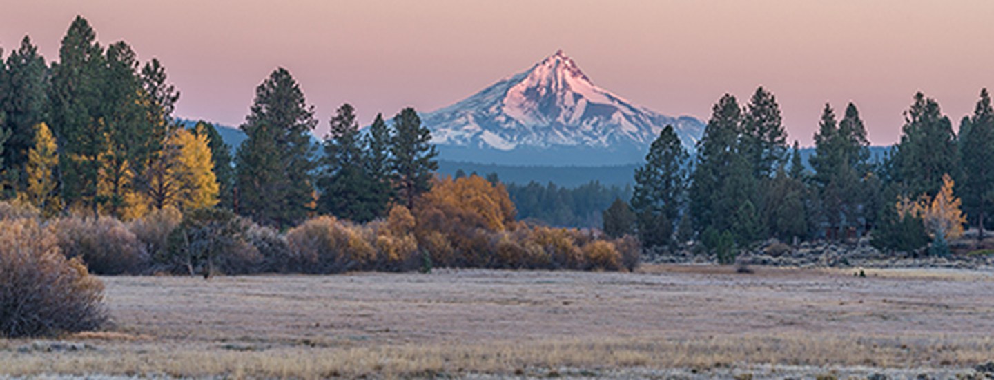
In one fell swoop, the rain wiped out roughly half of the snow that had built up on Mt. Bachelor, Tumalo Mountain, Broken Top, and the Three Sisters. Even from Bend you could tell that the peaks had reverted back to their autumnal state of exposed rock. At lower elevations, the runoff that resulted from the rain-on-snow event created torrents in the streams and rivers that flow from the Cascades.
Winter, it seemed, had come and gone in a flash flood, getting off to a false start that may become an increasingly common phenomenon in the years to come. In fact, as the impacts of climate change continue to unfold across the planet, the Cascades may offer a window into a future with less snow, more rain, and warmer temperatures.
Now, you might be thinking, “Wait, did she just say more rain? I thought climate change was going to create a drought-ridden desert apocalypse surrounded by mile-high oceans!”
Before you let yourself sink too deeply into that particular doom-and-gloom scenario, though, there are a couple of Central Oregon-specific climate change predictions to know about.
Most climate change models—mathematical characterizations of atmospheric, terrestrial, and oceanic interactions—predict that temperatures will increase in the Pacific Northwest, but these models to not fully agree on how precipitation will change. Where models do mostly agree is that climate change will cause snowfall to decline in the Cascades and throughout the rest of Oregon. 
There are a couple of possible reasons for this. The first is intuitive: as a rule of thumb, warmer temperatures mean less snow. Therefore, more precipitation will fall as rain at high elevations, reducing snowpack causing melting. Compounding this is a meteorological phenomenon called atmospheric rivers, which carry masses of warm tropical water to the Pacific Northwest and result in storm events that often lead to flooding and other extreme outcomes. Without the cold temperatures needed for snow, atmospheric rivers lead to large rain or rain-on-snow events in the Cascades that will occur more frequently and in greater magnitude with climate change.
Changing Winds, Less Rain
The second reason for a future with snow-free winters takes us much deeper into the climate science weeds: some research suggests that mountain ranges like the Cascades will actually receive less precipitation overall, in part due to decreased wind speed. So how does wind have anything to do with how water falls out of the sky?
In general, westerly winds—which blow from west to east over the Pacific Ocean—push air toward the Cascades. As the air rises it cools rapidly, causing water vapor to condense and release precipitation that normally falls as snow during the colder winter months. Climate change, it turns out, has been decreasing the speed of winds, which rely on temperature gradients to form. Since northern latitudes heat up more quickly than equatorial latitudes, the temperature differences that normally generate wind in the Pacific Northwest are getting much smaller. With less wind, fewer storms make it up into the Cascades, meaning there is less mountain precipitation overall.
Beyond the Cascades
The effects of decreased snowpack don’t stop on the slopes, though. Our rivers depend on snowmelt for summer streamflows and cool temperatures that support fish and other species. Central Oregon’s water storage systems also rely on snowmelt and streamflow timing to properly fill reservoirs, enable agricultural irrigation, and provide adequate drinking water to cities and towns.
The sad reality is that many of these precipitation changes are already visible throughout the Cascades, and by the 2080s Oregon will likely be rain-dominant.
However, don’t lose all hope for mountain snow just yet. The worst of these trends are still to come, so acting now to reduce greenhouse gas emissions and to conserve mountain ecosystems can help keep our ski season intact longer.
Learn more:
- About El Niño vs. La Niña in Central Oregon
- A NASA primer on climate models.
- How climate change affects wind.
- Information on atmospheric rivers.
- How climate change will impact Oregon: The Third Oregon Climate Assessment Report


