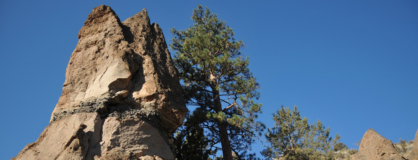
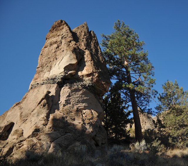
Looking up to the Cascade Range giants, it is clear to see how the volcanic activity and glacial carving of Central Oregon has shaped and built a place full of wonder. If you look closer though, we can take an even deeper dive into the long history of how the places we love so much were formed. These geological features begin to reveal the powerful beginnings of our region:
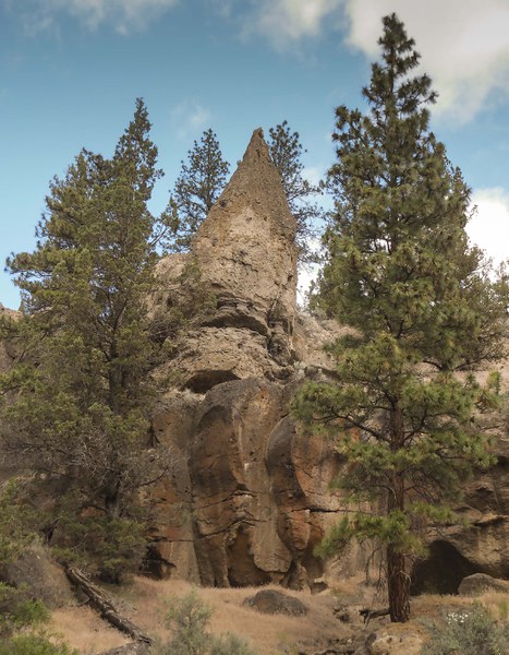
Where to find: Whychus Canyon Preserve, Alder Springs, Rimrock Ranch
Green Ridge. Rising 2000 feet above the valley from rocks originally laid millions of years ago, Green Ridge is a 20-mile long escarpment, or slope, along Central Oregon fault lines that forms a barrier for the Metolius River. This steep slope reveals some of the oldest rocks in the area. The Metolius River is diverted along the western slopes of where Green Ridge has risen as it travels north from its spring at the base of the volcanic cone of Black Butte.
Where to see: Metolius Preserve, Metolius River Preserve
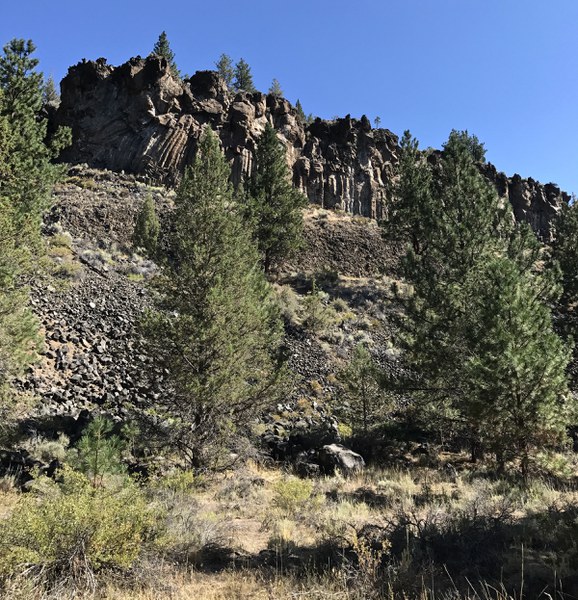
Where to find: Aspen Hollow Preserve, Alder Springs
Fault. Faults are fractures as a result of differential rock movements. They work locally and on the planetary scale of Earth’s tectonic plates. Though they often work under the radar, fault lines are places where faults can be seen from the surface. These fractures can be seen throughout the Cascade Range. Faults are evidence that even our rocks are on the move.
Where to find: Whychus Canyon Preserve, Alder Springs, Rimrock Ranch
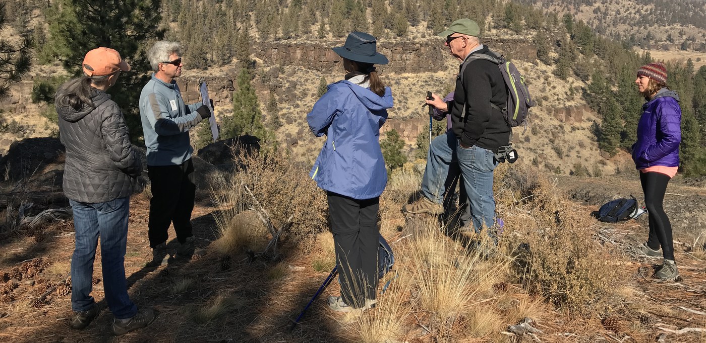
These and many other geological formations provide an insight into our region's past. As we look closely at the landscape surrounding us we cannot help but think of its future. There is no doubt that climate change will impact our land. As glaciers melt, fire seasons grow hotter, our land becomes more dry, and our urban spaces grow, our land will be shaped once again. By learning from the past and thinking of the future, we hope to maintain healthy and resilient lands for many years and new geological formations to come.
From the ground we stand on to the flowering plants and everything in between, our lands have so much still to show us. We encourage folks interested in learning more about geology or any other features found on our Preserves to look around and take them all in or join us for a guided walk or hike.
Thanks to Daniele McKay and Derek Loeb for their geological contributions to this article!
Learn more:
- Join our volunteer naturalists on a guided geology walk or hike.
- Learn from local Geologist, Daniele McKay's Nature Night presentation.
- Read up with Roadside Geology of Oregon.

